GPSMAP 79s

GPSMAP 79s

Part Number 010-02635-01

Category

Description

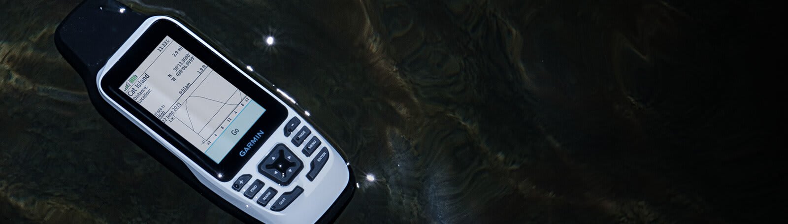
CAST OFF CONFIDENTLY

Stay on course, and track more adventures with these rugged, floating handhelds.


It’s water-resistant, it floats, and it’s fogproof, so it belongs on the water — just like you.

This thing can remember up to 10,000 waypoints and more, so you don’t have to.

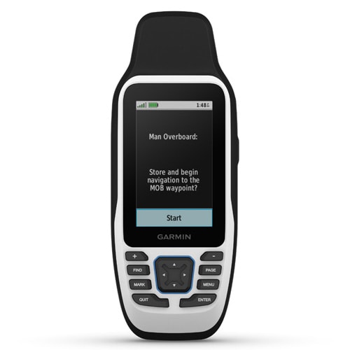
It’s nice to have reliable positioning when you’re out on the water.

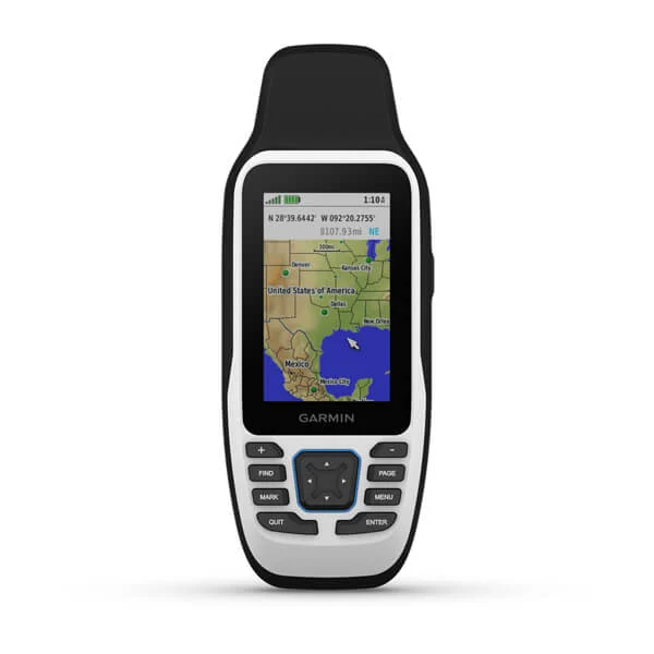
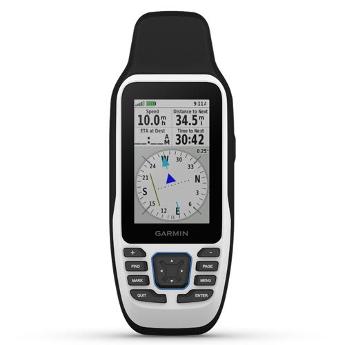
The built-in compass will point you in the right direction.

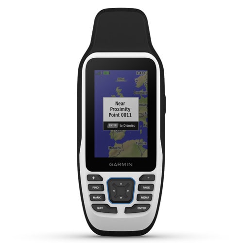
Get the best of Garmin and Navionics data with optional BlueChart g3 coastal charts.

Stay out longer with up to 19 hours of battery life in GPS mode.
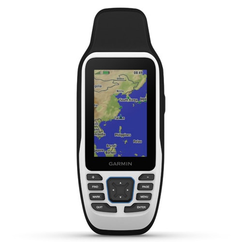
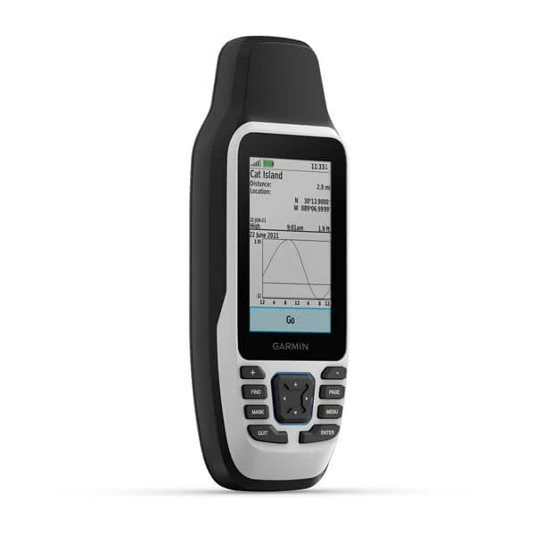
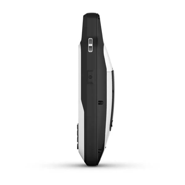
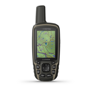
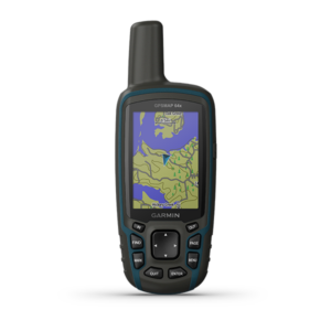
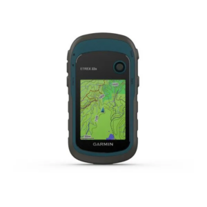
RUGGED HANDHELD

This handheld is water-resistant (IPX7) with a high-resolution color display you can read in the sun. The glass is even scratch-resistant and fogproof.

DESIGNED TO FLOAT

If rough waters come and the handheld goes overboard, don’t worry. This device floats.
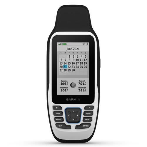
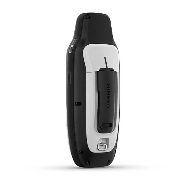
BATTERY LIFE

User-replaceable AA batteries (not included) provide up to 19 hours of battery life in GPS tracking mode.

ACCURATE TRACKING

With support for multiple satellite constellations — such as GPS, GLONASS, Beidou, QZSS and SBAS — you’ll get accurate, reliable tracking and positioning around the world.

INCREASED MEMORY

More memory than previous models means you can save and track 10,000 waypoints, 250 routes and 300 fitness activity files.
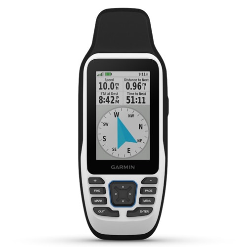
BUILT-IN COMPASS

The 3-axis tilt-compensated electronic compass shows your heading — even while the boat is standing still.

Specs

General

Lens Material chemically strengthened glass
Dimension 2.67'' x 6.85'' x 1.67'' (6.77 x 17.40 x 4.23 cm)
Weight 9.95 oz (282g) with batteries
Waterproof IPX7
MIL-STD-810 yes (thermal, shock, water); bare unit only
Display Type transflective, 65K color TFT
Display Size 1.5"W x 2.5"H (3.8 x 6.3 cm); 3" diag (7.6 cm)
Display Resolution 240 x 400 pixels
Battery type 2 AA batteries (not included); NiMH or Lithium recommended
Battery life up to 19 hours
Memory/History 8 GB (user space varies based on included mapping on sc version)
Interface high speed microUSB and NMEA 0183 compatible

Maps & Memory

Preloaded maps Available on sc version only
Ability to add maps
Basemap
Automatic routing (turn by turn routing on roads) for outdoor activities Yes (with optional mapping for detailed roads)
Map segments 15000
Includes detailed hydrographic features (coastlines, lake/river shorelines, wetlands and perennial and seasonal streams) yes (downloadable from Garmin Express™)
Includes searchable points of interests (parks, campgrounds, scenic lookouts and picnic sites) yes (downloadable from Garmin Express™)
Displays national, state and local parks, forests, and wilderness areas yes (downloadable from Garmin Express™)
External memory storage yes (32 GB max microSD™ card, not included)
Waypoints/favorites/locations 250
Navigation Track Log 20,000 points, 250 saved gpx tracks, 300 saved fit activities
Navigation Routes 250, 250 points per route; 50 points auto routing
Rinex logging

Sensors

GPS
Galileo
QZSS
SBAS
Compass Yes (tilt-compensated 3-axis)
High-sensitivity receiver
GPS compass (while moving)

Outdoor Recreation

Point-to-point navigation
Area calculation
Fish forecast
Geocaching-friendly Yes (Paperless)
Custom maps compatible
Picture viewer
   

In the Box

General

Lens Material chemically strengthened glass
Dimension 2.67'' x 6.85'' x 1.67'' (6.77 x 17.40 x 4.23 cm)
Weight 9.95 oz (282g) with batteries
Waterproof IPX7
MIL-STD-810 yes (thermal, shock, water); bare unit only
Display Type transflective, 65K color TFT
Display Size 1.5"W x 2.5"H (3.8 x 6.3 cm); 3" diag (7.6 cm)
Display Resolution 240 x 400 pixels
Battery type 2 AA batteries (not included); NiMH or Lithium recommended
Battery life up to 19 hours
Memory/History 8 GB (user space varies based on included mapping on sc version)
Interface high speed microUSB and NMEA 0183 compatible

Maps & Memory

Preloaded maps Available on sc version only
Ability to add maps
Basemap
Automatic routing (turn by turn routing on roads) for outdoor activities Yes (with optional mapping for detailed roads)
Map segments 15000
Includes detailed hydrographic features (coastlines, lake/river shorelines, wetlands and perennial and seasonal streams) yes (downloadable from Garmin Express™)
Includes searchable points of interests (parks, campgrounds, scenic lookouts and picnic sites) yes (downloadable from Garmin Express™)
Displays national, state and local parks, forests, and wilderness areas yes (downloadable from Garmin Express™)
External memory storage yes (32 GB max microSD™ card, not included)
Waypoints/favorites/locations 250
Navigation Track Log 20,000 points, 250 saved gpx tracks, 300 saved fit activities
Navigation Routes 250, 250 points per route; 50 points auto routing
Rinex logging

Sensors

GPS
Galileo
QZSS
SBAS
Compass Yes (tilt-compensated 3-axis)
High-sensitivity receiver
GPS compass (while moving)

Outdoor Recreation


Point-to-point navigation
Area calculation
Fish forecast
Geocaching-friendly Yes (Paperless)
Custom maps compatible
Picture viewer

Reviews

There are no reviews yet.

Be the first to review “GPSMAP 79s”

Your email address will not be published. Required fields are marked *